We specialize in
Reality Capture
-
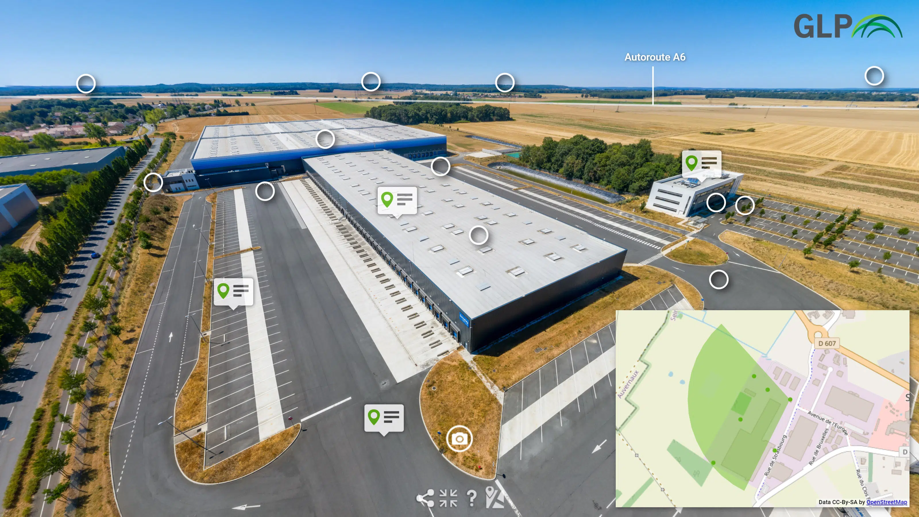
Virtual Tours
-
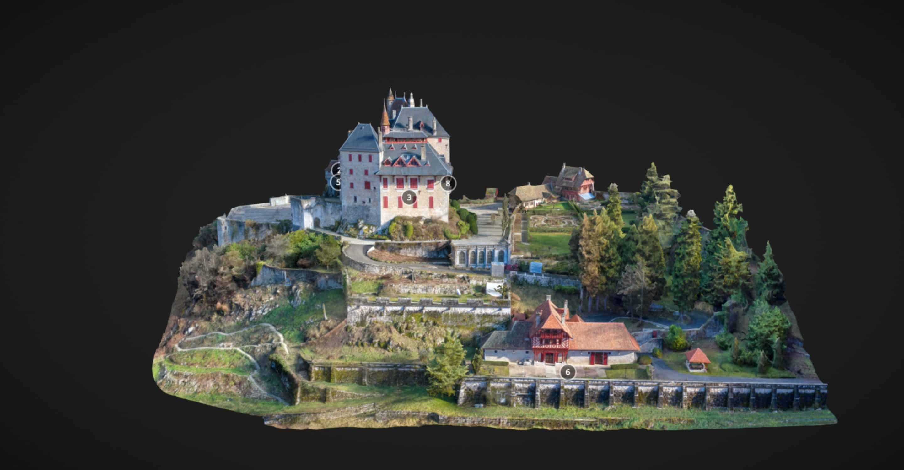
3D Surveys
-
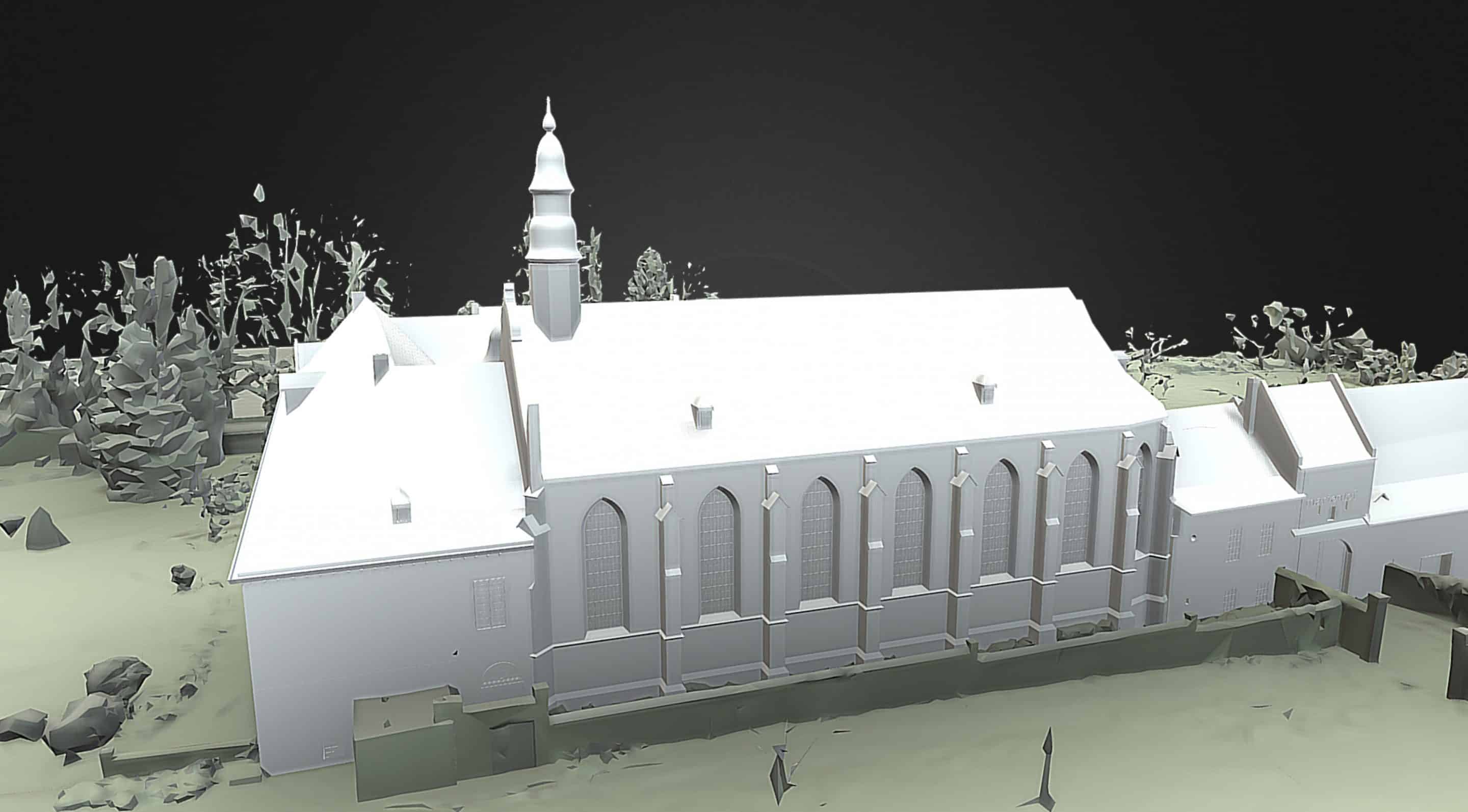
3D Models & DWG Drawings
-
Technical Inspections via Drones
We digitize environments using various technical processes to access, visualize, measure, understand and manage.
We digitize reality
Our profession lies halfway between a photographer and a surveyor. We capture reality with drones and 3D scanners andwork with marketing-related topics of space enhancement as well as on the creation of plans, BIM models and the performance of technical inspections.
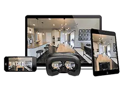
Virtual Tours
Matterport, Google StreetView, 360° Virtual Tour…. We use all the latest technologies to create a virtual tour to highlight your spaces.
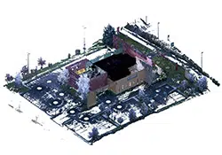
3D Surveys
Laser, photogrammetry, structured light… We select the most appropriate 3D scanning method to produce reliable and accurate point clouds.
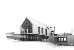
3D models & 2D plans
Revit, Sketchup, AutoCad, ArchiCad, Rhino… We reprocess your point clouds to produce architectural drawings and turnkey 3D BIM models.
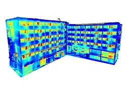
Technical Inspections
Aerial inspections, confined space inspections, thermographic surveys via drone, multispectral image captures… We conduct your technical studies.
Examples of reality capture applications
Areas of application for Reality Capture
Real Estate
- Residential
- Commercial
- Asset Management
Tourism
- Hotels
- Seasonal Rentals
- Stores/Showrooms
Events
- Scenography
- Event Spaces
- Museums
Construction
- Architect
- Project Manager
- Design Office
And also
- Manufacturers
- Warehouses
- Technical Infrastructure
Our DNA
Our passion for new technologies is our main driving force. Since our company’s founding in 2015, we’ve consistently tested the latest innovations to bring you the most advanced technologies in the field of reality capture.
For projects with an aesthetic slant, we advise you on the various possible virtual visit technologies. We take great care how we shoot in order to highlight all types of spaces. We are an approved Google Trusted Photographer and Matterport Service Provider in France.
For 3D survey projects, we can advise you on the various 3D scanning methods to meet your needs. We perform rigorous captures to create accurate and reliable 3D models. We are an accredited Revit Professional User.
All our projects include a web player which allows you to view and share your 3D models via a simple browser.
Your reality capture project anywhere in France
Lookin3D is located between Paris and Annecy with a network of professionals in several regions throughout France. Contact us!
Contact and quote
Each project has its own specifications. So we can provide the best service, let’s take some time to discuss your needs.


